Emergency bivy
Compact warmth layer for unexpected delays.
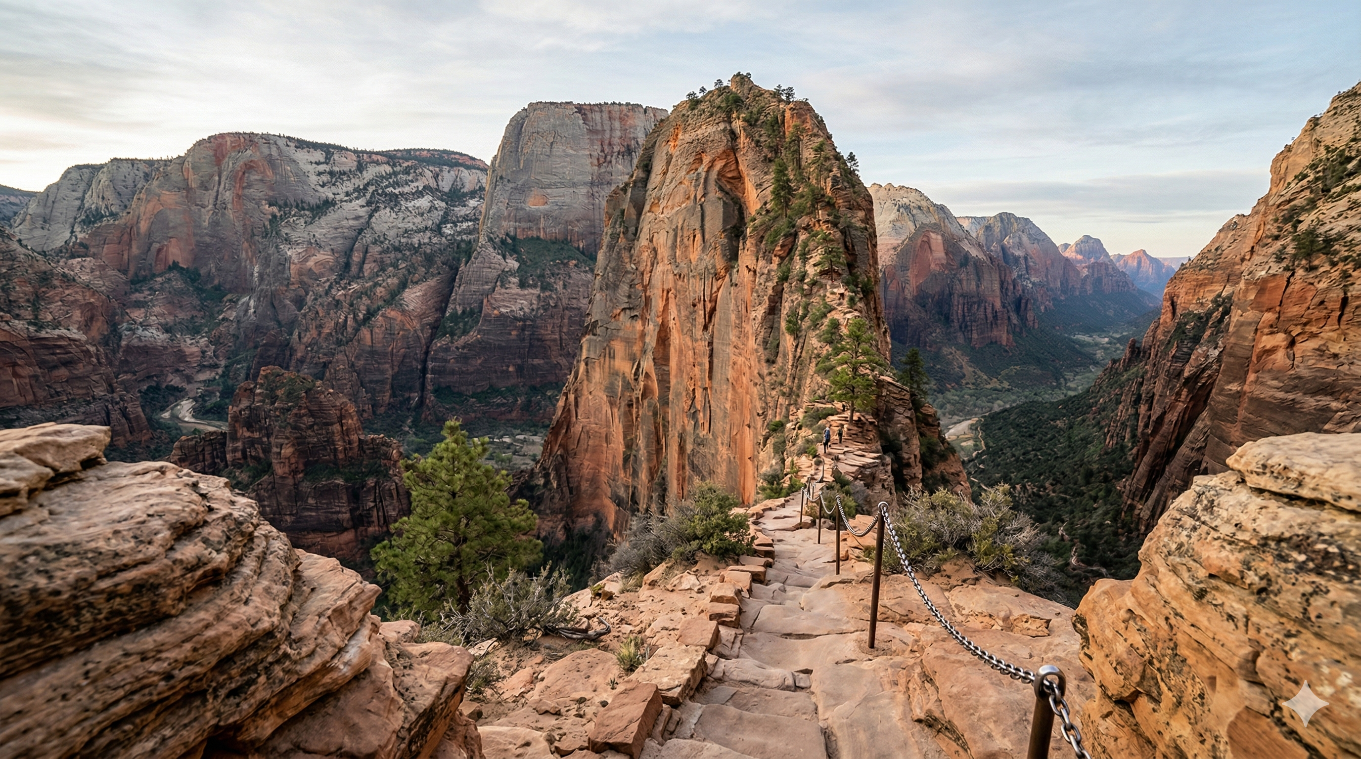
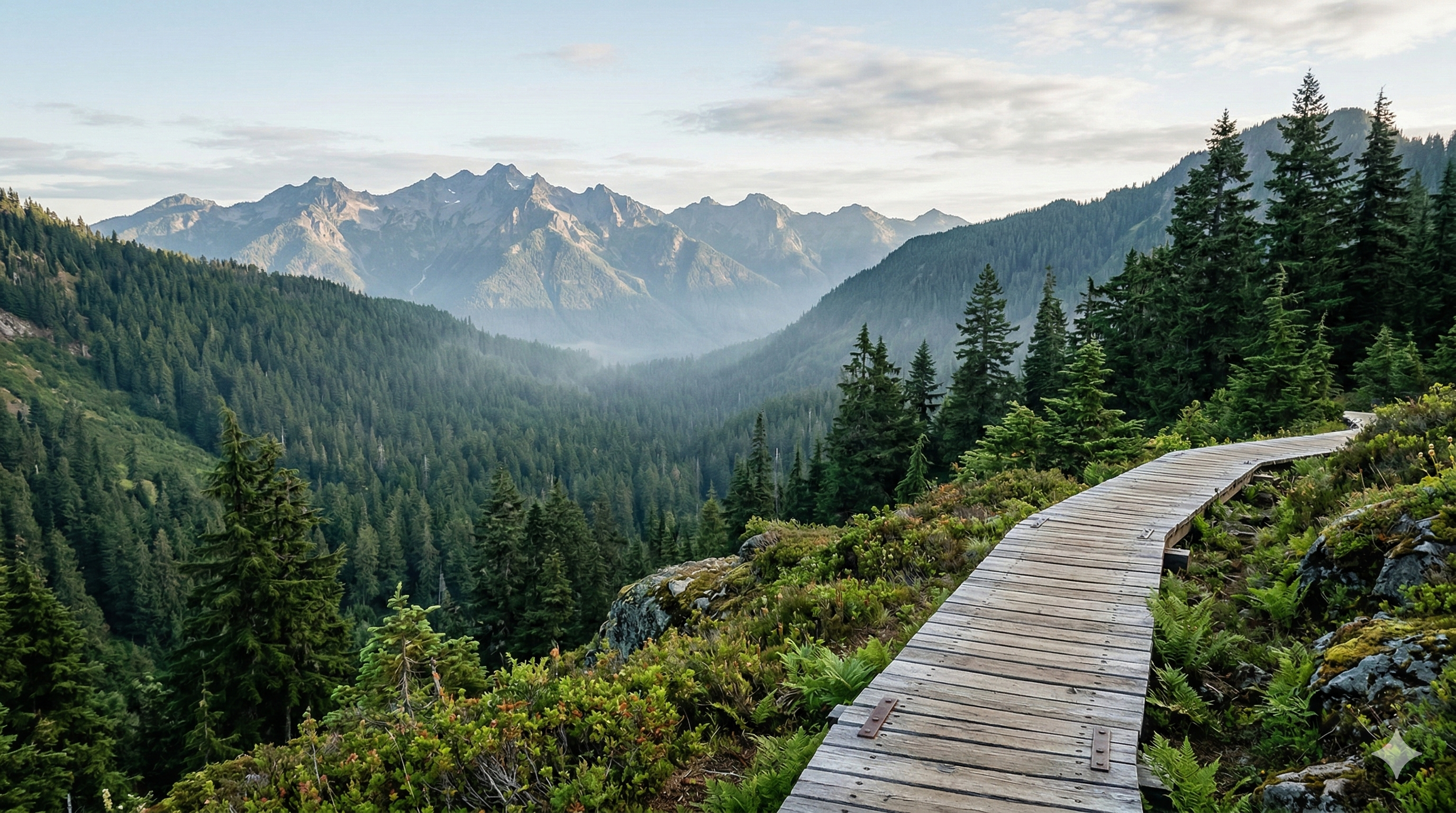
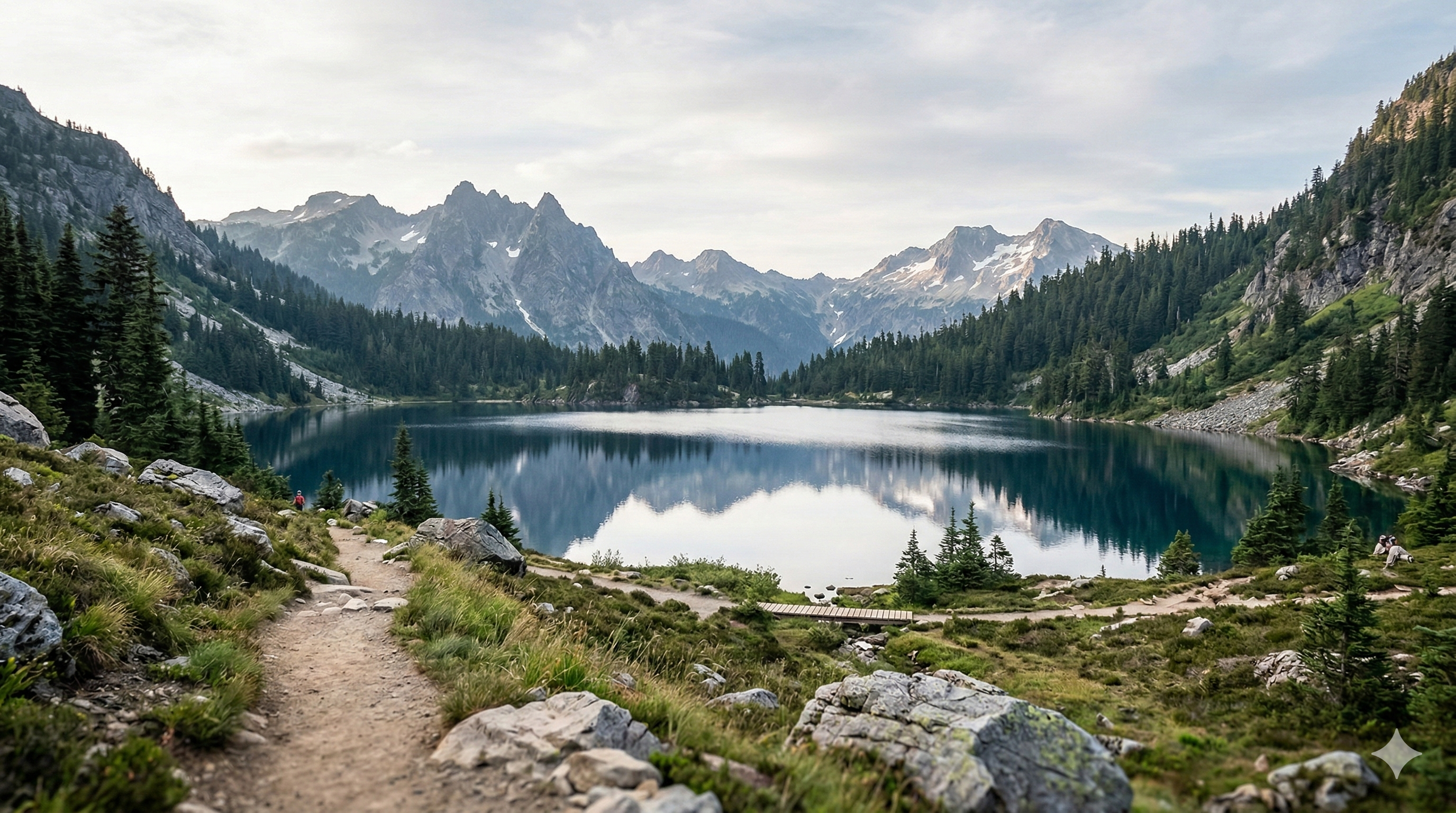
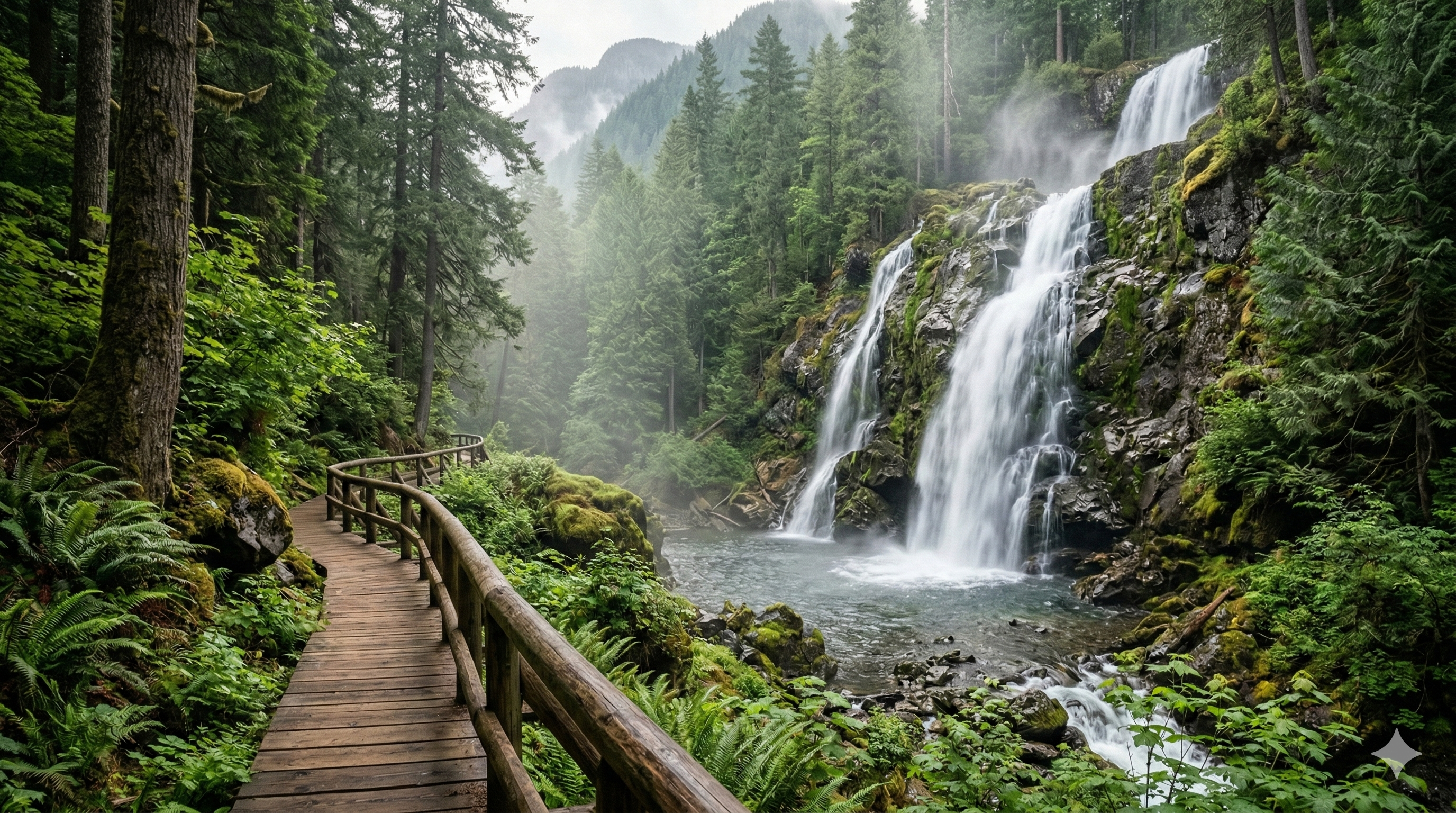
Demo cards — search, filter, save, and open the trail drawer for a mocked weather panel.
Click an activity to filter the Featured trails above.
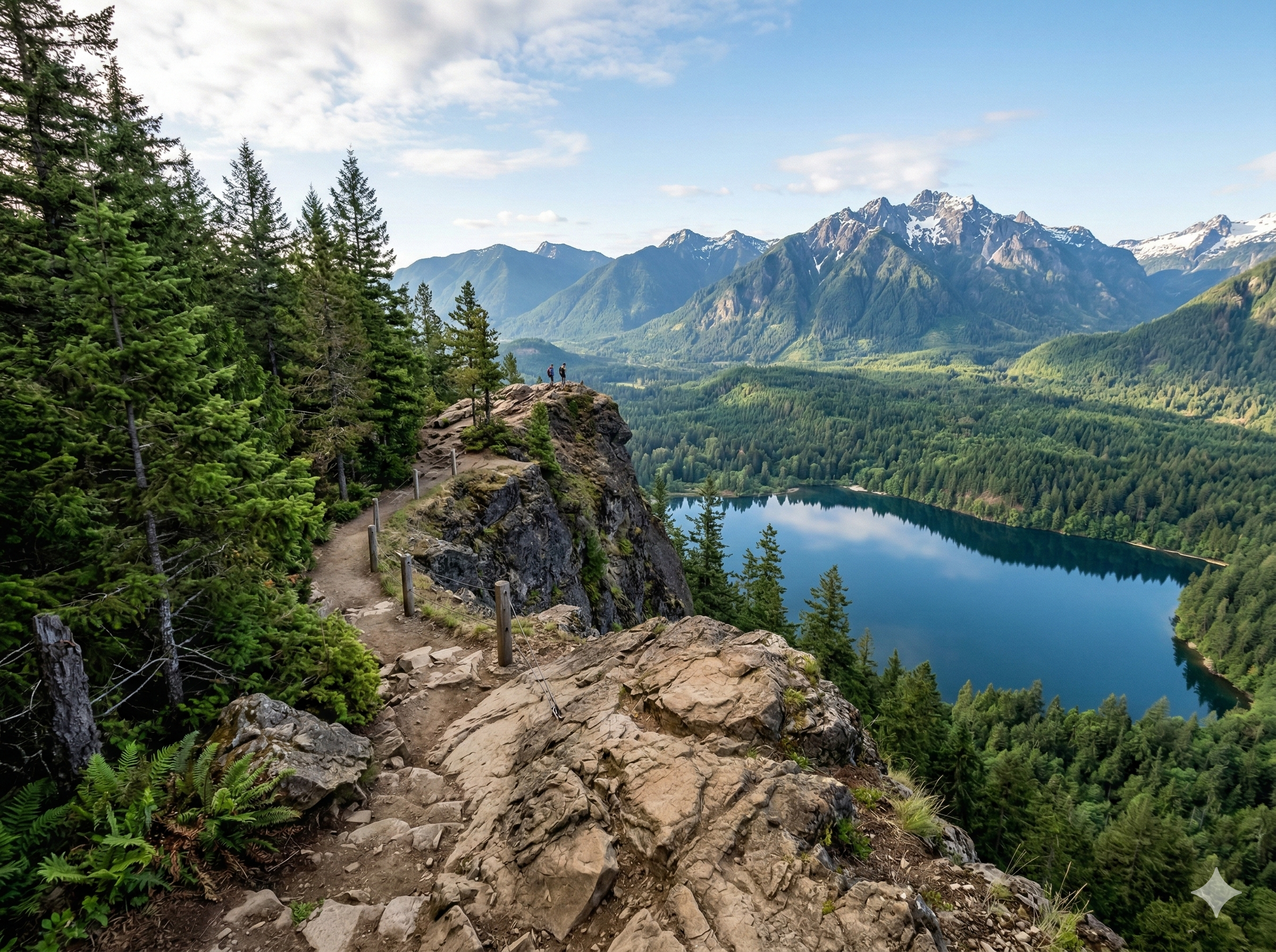
A calm safety flow designed for real outdoor trips.
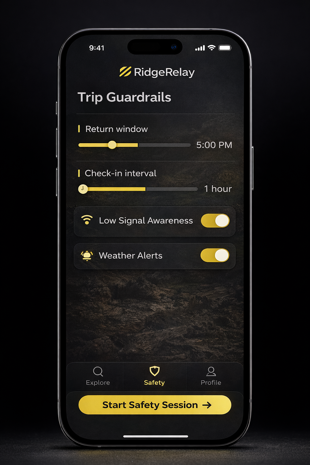
Start a safety session with your plan: who, where, and when you'll be back.
Set your trip details, return expectations, and private contact info.
Demo upload stored locally. Share the moment, not your precise location.
Saved only in your browser (localStorage). No network upload.
Short field-ready videos for the basics that matter most.
Compact warmth layer for unexpected delays.
Because “just one more mile” happens.
A tiny upgrade with big confidence.
Print + backup navigation basics.
Short answers for the prototype.
No. This is a concept demo: no real GPS, no dispatch, no live monitoring.
Session-limited data, clear boundaries, and “share only when needed” escalation design.
Not yet. Treat this as a UI prototype to communicate the concept and flow.